-

-
-
Loading

Loading

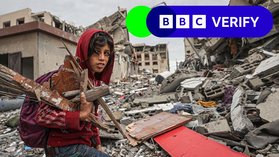
New satellite images commissioned by the BBC have revealed the extent of the destruction in northern Gaza before the temporary ceasefire between Israel and Hamas. The images, taken on Thursday just before the suspension of hostilities, show widespread damage across the entire strip. Israel claims that northern Gaza was a stronghold for Hamas, the group responsible for the October attacks. The analysis of the data suggests that almost 98,000 buildings in the whole of Gaza may have been damaged, with most of the destruction concentrated in the north. The images show entire neighbourhoods reduced to rubble and buildings cleared by bulldozers. The Israeli military has set up defensive positions in surrounding fields. The satellite images also show a Star of David carved into the earth near al-Azhar University in Gaza City, an area that was previously believed to be a park. The IDF claims that the area was used by Hamas as a parade square and that the Star of David was created in memory of Israeli soldiers killed in the conflict.