-

-
-
Loading
Loading

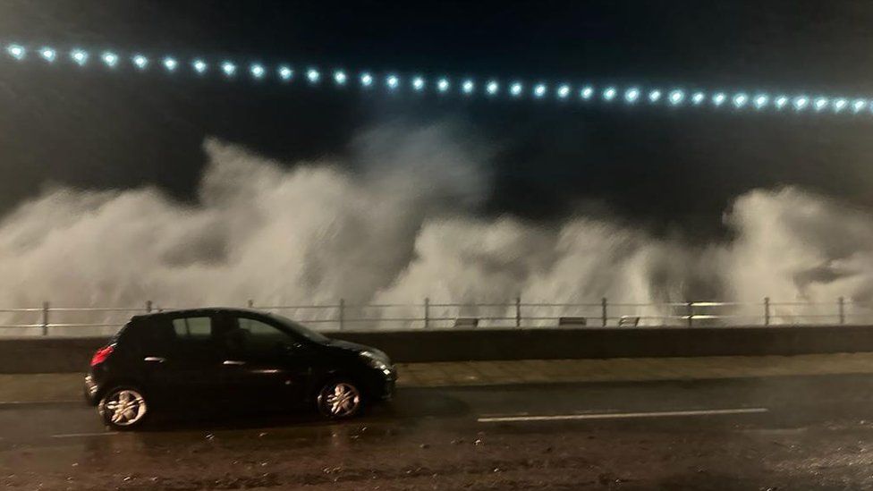
Forecasters have issued warnings that Storm Ciarán will pose a risk to lives in the UK and parts of the British Isles. Southern England is predicted to be hit by damaging winds, with gusts of up to 95mph (152km/h) expected in the Channel Islands. Hampshire has already declared a major incident due to the potential disruption to travel and damage to buildings. Additionally, there are 32 flood warnings in place across England. Jersey Met has issued a red wind warning for storm-force gusts, heavy rainfall, and coastal flooding in the Channel Islands. The Met Office has issued yellow and amber warnings for wind and rain, indicating potential risks to life and property in parts of England and Scotland. Cornwall and Devon have already experienced heavy rain, and the storm's path remains uncertain, although the south coast is expected to bear the brunt of the impacts. The UK has provisionally recorded the joint-sixth wettest October on record due to the heavy rain brought by Storm Babet. Coastal areas in southern England could experience gusts of 70-80mph (113-129 km/h), with some spots potentially exceeding 85mph (123 km/h). Moreover, 20-30mm of rain is expected in southern and western areas. The Met Office has warned that the amber warnings for wind could cause structural damage, blow off roofs, bring down powerlines, disrupt transport routes, and pose a danger to life due to flying debris. Large waves and beach material could also be thrown onto coastal roads. There are also yellow warnings for rain and wind in various regions of England, Scotland, and Wales. Local authorities are taking precautions, such as erecting temporary barriers and clearing drains and gullies, to minimize the impact of the storm. Storm Ciarán follows recent incidents of extreme weather, including coastal barrier collapses and flooding in several locations.