-

-
-
Loading
Loading

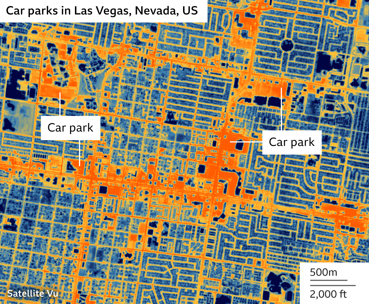
The HotSat-1 satellite, developed by UK operator SatVu, has captured its first images showing variations in heat across the Earth's surface. Equipped with a high-resolution thermal sensor, the satellite can detect hot and cold features as small as 3.5m. The initial imagery includes a Chicago train moving at night and the flame fronts of wildfires in Canada. SatVu plans to launch seven additional spacecraft, which will increase data acquisition and enable faster detection of changes in a scene. The heat maps produced by HotSat-1 will have various applications, including urban planning, identifying energy waste, and assessing climate-related matters. The data will also be valuable to the financial, insurance, and military sectors. The satellite's technology has been funded by the UK and European space agencies.